Geolocate

Bugbug topographic map

Click on the map to display elevation.

About this map

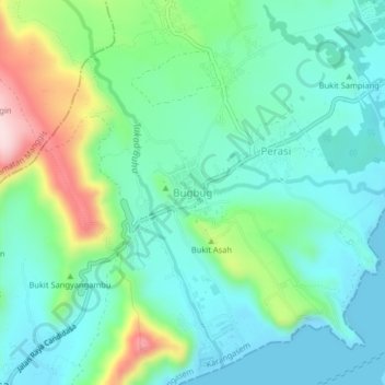
Name: Bugbug topographic map, elevation, terrain.

Location: Bugbug, Bali, 80871, Indonesia (-8.50967 115.57405 -8.46967 115.61405)

Average elevation: 269 ft

Minimum elevation: 0 ft

Maximum elevation: 1,040 ft

Gear up for your next adventure:

🔥Fast-Boil Camping Stoves - Efficient cooking systems for quick trail meals
🔦Compact Flashlight - Reliable flashlight for emergencies
🥾Hiking Shoes - Durable and comfortable shoes for trail hiking
🛡️Insect Repellent - Protection against bugs during outdoor activities
📶Satellite Messenger - Communication device off‑grid

As an Amazon Associate, this site earns from qualifying purchases at no extra cost to you.