Geolocate

Salt River topographic map

Click on the map to display elevation.

Salt River

Salt River is a populated place situated in Maricopa County, Arizona, United States. It has an estimated elevation of 1,220 feet (370 m) above sea level. It is located on the Salt River Pima–Maricopa Indian Community.

Wikipedia (CC-BY-SA 3.0)

About this map

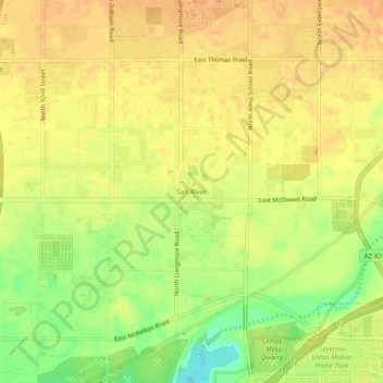
Name: Salt River topographic map, elevation, terrain.

Location: Salt River, Scottsdale, Maricopa County, Arizona, 85265, United States (33.44671 -111.88403 33.48671 -111.84403)

Average elevation: 1,220 ft

Minimum elevation: 1,138 ft

Maximum elevation: 1,260 ft

Maricopa County trails, hiking, mountain biking, running and outdoor activities

Gear up for your next adventure:

🪄Magnetic Compass - Accurate compass for navigation
Camping Coffee Makers - Enjoy premium coffee at the summit or campsite
🧥Men's Rain Shells - Premium waterproof and breathable jackets for mountain weather
🏕️Family Camping Gear - Essentials for group camping trips
📚Navigation Handbooks - Master the art of reading topographic maps and using a compass

As an Amazon Associate, this site earns from qualifying purchases at no extra cost to you.