Geolocate

Rhenosterkop topographic map

Click on the map to display elevation.

About this map

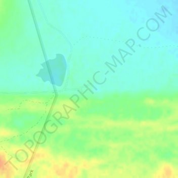
Name: Rhenosterkop topographic map, elevation, terrain.

Location: Rhenosterkop, Cape Agulhas Ward 5, Cape Agulhas Local Municipality, Western Cape, South Africa (-34.77303 19.92154 -34.75303 19.94154)

Average elevation: 75 ft

Minimum elevation: 33 ft

Maximum elevation: 148 ft

Other topographic maps

Click on a map to view its topography, its elevation and its terrain.

Gear up for your next adventure:

🔦Powerful Headlamps - Ultra-bright hands-free lighting for night navigation
💧Water Purification System - Clean water on the trail with reliable purifiers
Solar GPS Watches - Advanced multisport watches with built-in topographic maps
📷Action Camera - Capture your outdoor adventures in HD
🧼Biodegradable Camping Soap - Eco‑friendly soap for outdoor hygiene

As an Amazon Associate, this site earns from qualifying purchases at no extra cost to you.