
Glacier Point topographic map
Click on the map to display elevation.
Glacier Point
Glacier Point is a viewpoint above Yosemite Valley in the U.S. state of California. It is located on the south wall of Yosemite Valley at an elevation of 7,214 feet (2,199 m), 3,200 feet (980 m) above Curry Village. The point offers a superb view of several of Yosemite National Park's well-known landmarks, including Yosemite Valley, Yosemite Falls, Half Dome, Vernal Fall, Nevada Fall, and Clouds Rest. Between 1872 and 1968, it was the site of the Yosemite Firefall.
About this map
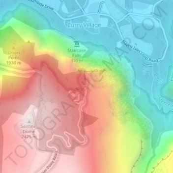
Name: Glacier Point topographic map, elevation, terrain.
Average elevation: 5,823 ft
Minimum elevation: 3,963 ft
Maximum elevation: 8,133 ft
Mariposa County trails, hiking, mountain biking, running and outdoor activities