Geolocate

Munda topographic map

Click on the map to display elevation.

About this map

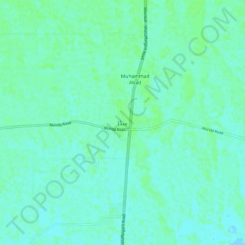
Name: Munda topographic map, elevation, terrain.

Location: Munda, Punjab, Pakistan (30.54308 71.19294 30.62308 71.27294)

Average elevation: 449 ft

Minimum elevation: 440 ft

Maximum elevation: 463 ft

Gear up for your next adventure:

🌡️Portable Weather Meter - Track weather conditions on the trail
🚪Portable Camp Chair - Foldable chair for comfort at camp
🔥Plasma Lighters - Windproof lighters that work in any weather condition
🧭Outdoor Navigation Book - Learn advanced navigation skills
🔭Telescopic Hiking Pole - Adjustable pole for hiking stability

As an Amazon Associate, this site earns from qualifying purchases at no extra cost to you.