
Ramnagar topographic map
Click on the map to display elevation.
About this map
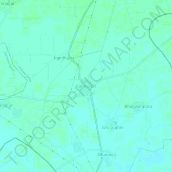
Name: Ramnagar topographic map, elevation, terrain.
Location: Ramnagar, Patiala Tahsil, Patiala, Punjab, India (30.10698 76.29696 30.14698 76.33696)
Average elevation: 794 ft
Minimum elevation: 784 ft
Maximum elevation: 804 ft
Other topographic maps
Click on a map to view its topography, its elevation and its terrain.
Patiala
India > Punjab > Patiala Tahsil
Patiala is located at 30°19′N 76°24′E / 30.32°N 76.40°E / 30.32; 76.40. It has an average elevation of 250 metres (820 feet). During the short existence of PEPSU, Patiala served as its capital city.
Average elevation: 837 ft
Patiala
India > Punjab > Patiala Tahsil
Patiala is located at 30°19′N 76°24′E / 30.32°N 76.40°E / 30.32; 76.40. It has an average elevation of 250 metres (820 feet). During the short existence of PEPSU, Patiala served as its capital city.
Average elevation: 837 ft