
Roswell topographic map
Click on the map to display elevation.
About this map
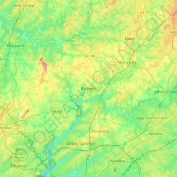
Name: Roswell topographic map, elevation, terrain.
Location: Roswell, Fulton County, Georgia, 30077, United States (33.86332 -84.52002 34.18332 -84.20002)
Average elevation: 1,024 ft
Minimum elevation: 761 ft
Maximum elevation: 1,598 ft
Fulton County trails, hiking, mountain biking, running and outdoor activities