Geolocate

Thamar topographic map

Click on the map to display elevation.

About this map

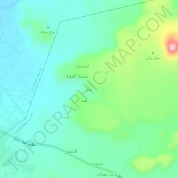
Name: Thamar topographic map, elevation, terrain.

Location: Thamar, Anss District, Dhamar Governorate, Yemen (14.52704 44.43276 14.56704 44.47276)

Average elevation: 8,009 ft

Minimum elevation: 7,828 ft

Maximum elevation: 8,560 ft

Gear up for your next adventure:

🪶Wildlife Field Guides - Learn animal tracking and species ID
🌲Outdoor Survival Books - Best books on survival skills
🎒Outdoor Daypacks - Lightweight backpacks designed for carrying maps and essential gear
🪶Camping Sleeping Pad - Comfortable sleeping pad for backpacking
🦺Reflective Outdoor Gear - Safety gear for low‑light conditions

As an Amazon Associate, this site earns from qualifying purchases at no extra cost to you.