
Virginia Key topographic map
Click on the map to display elevation.
About this map
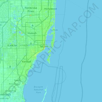
Name: Virginia Key topographic map, elevation, terrain.
Average elevation: 7 ft
Minimum elevation: -7 ft
Maximum elevation: 144 ft
Miami-Dade County trails, hiking, mountain biking, running and outdoor activities
Other topographic maps
Click on a map to view its topography, its elevation and its terrain.
Virginia Key Beach North Point Park
United States > Florida > Miami-Dade County > Miami
Average elevation: 10 ft
West Little River
United States > Florida > Miami-Dade County > Miami > West Little River
Average elevation: 23 ft