Geolocate

Chikhaldara topographic map

Click on the map to display elevation.

About this map

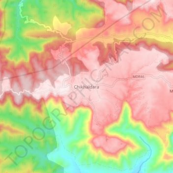
Name: Chikhaldara topographic map, elevation, terrain.

Location: Chikhaldara, Amravati, Maharashtra, India (21.36158 77.28888 21.44158 77.36888)

Average elevation: 2,956 ft

Minimum elevation: 1,883 ft

Maximum elevation: 3,658 ft

Gear up for your next adventure:

🔭Telescopic Hiking Pole - Adjustable pole for hiking stability
🔭Stargazing Telescopes - Perfect for camping in low-light pollution areas shown on maps
🏔️Mountain Trail Maps - High‑detail maps for popular peaks
🪶Trail Camera - Capture wildlife on your hikes
🛏️Cold Weather Sleeping Bag - Warm sleeping bag for cold conditions

As an Amazon Associate, this site earns from qualifying purchases at no extra cost to you.