
Thank you for supporting this site ❤️
Make a donation
Make a donation
Gear up for your next adventure:
As an Amazon Associate, this site earns from qualifying purchases at no extra cost to you.
Barbaño topographic map
Click on the map to display elevation.
Thank you for supporting this site ❤️
Make a donation
Make a donation
Gear up for your next adventure:
As an Amazon Associate, this site earns from qualifying purchases at no extra cost to you.
About this map
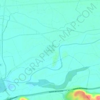
Name: Barbaño topographic map, elevation, terrain.
Location: Barbaño, Montijo, Badajoz, Extremadura, 06480, España (38.85468 -6.60680 38.89468 -6.56680)
Average elevation: 633 ft
Minimum elevation: 594 ft
Maximum elevation: 840 ft
Thank you for supporting this site ❤️
Make a donation
Make a donation
Gear up for your next adventure:
As an Amazon Associate, this site earns from qualifying purchases at no extra cost to you.