
Florence topographic map
Click on the map to display elevation.
About this map
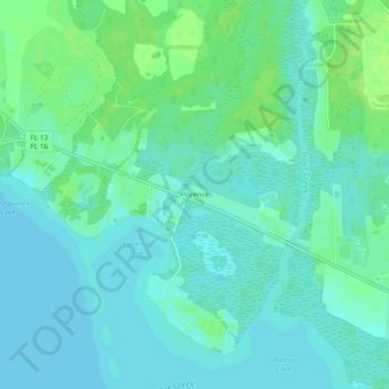
Name: Florence topographic map, elevation, terrain.
Location: Florence, Saint Johns County, Florida, United States (29.97024 -81.59731 30.01024 -81.55731)
Average elevation: 16 ft
Minimum elevation: 0 ft
Maximum elevation: 39 ft
Other topographic maps
Click on a map to view its topography, its elevation and its terrain.
Saint Augustine
United States > Florida > Saint Johns County
Saint Augustine is characterized by a diverse topography that features a mix of coastal and inland landscapes. Situated along the eastern coast of the state, the city lies on a narrow peninsula bordered by the Atlantic Ocean to the east and the Matanzas River to the west. The area includes sandy beaches that…
Average elevation: 16 ft
Butler Beach
United States > Florida > Saint Johns County > Saint Augustine Beach
Average elevation: 7 ft
Butler Beach
United States > Florida > Saint Johns County > Saint Augustine Beach
Average elevation: 10 ft
Butler Beach
United States > Florida > Saint Johns County > Saint Augustine Beach
Average elevation: 10 ft
DeLeon Shores Park
United States > Florida > Saint Johns County > Ponte Vedra Beach > Palm Valley
Average elevation: 13 ft