Geolocate

Pijiru topographic map

Click on the map to display elevation.

About this map

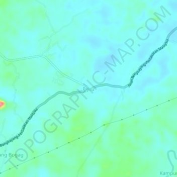
Name: Pijiru topographic map, elevation, terrain.

Location: Pijiru, Bau, Kuching Division, Sarawak, Malaysia (1.34603 110.06578 1.38603 110.10578)

Average elevation: 112 ft

Minimum elevation: 59 ft

Maximum elevation: 390 ft

Gear up for your next adventure:

🚗GPS Dash Cams - Record your scenic drives through mountain passes and canyons
🗺️NatGeo Topo Maps - High-quality waterproof printed topographic maps of US Parks
🦺Reflective Outdoor Gear - Safety gear for low‑light conditions
🥄Camping Utensil Set - Lightweight utensils for outdoor meals
🧭GPS Watch Accessories - Bands and chargers for GPS watches

As an Amazon Associate, this site earns from qualifying purchases at no extra cost to you.