Geolocate

Bohar topographic map

Click on the map to display elevation.

About this map

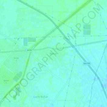
Name: Bohar topographic map, elevation, terrain.

Location: Bohar, Rohtak, Rohtak District, Haryana, 124021, India (28.87662 76.63234 28.91662 76.67234)

Average elevation: 728 ft

Minimum elevation: 719 ft

Maximum elevation: 738 ft

Gear up for your next adventure:

🌧️Backpack Rain Cover - Keep gear dry in wet weather
👟Men's Trail Runners - Lightweight footwear for fast-paced exploration and light hiking
🦺Reflective Outdoor Gear - Safety gear for low‑light conditions
🥾Hiking Shoes - Durable and comfortable shoes for trail hiking
🗺️NatGeo Topo Maps - High-quality waterproof printed topographic maps of US Parks

As an Amazon Associate, this site earns from qualifying purchases at no extra cost to you.