Geolocate

Inman topographic map

Click on the map to display elevation.

About this map

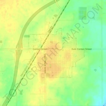
Name: Inman topographic map, elevation, terrain.

Location: Inman, McPherson County, Kansas, United States (38.22458 -97.78149 38.23719 -97.76310)

Average elevation: 1,506 ft

Minimum elevation: 1,450 ft

Maximum elevation: 1,539 ft

McPherson County trails, hiking, mountain biking, running and outdoor activities

Gear up for your next adventure:

🔭Telescopic Hiking Pole - Adjustable pole for hiking stability
📡GPS Antenna Upgrade - Enhance GPS reception in remote terrain
🪶Camp Gear Gift Set - Perfect gift bundle for outdoor fans
🛡️Insect Repellent - Protection against bugs during outdoor activities
📦Gear Storage Bags - Organize and protect outdoor equipment

As an Amazon Associate, this site earns from qualifying purchases at no extra cost to you.