
Make a donation
Gear up for your next adventure:
As an Amazon Associate, this site earns from qualifying purchases at no extra cost to you.
Tikjda topographic map
Click on the map to display elevation.
Make a donation
Gear up for your next adventure:
As an Amazon Associate, this site earns from qualifying purchases at no extra cost to you.
Tikjda
Tikjda (en arabe : تيكجدة, et en berbère : ⵜⵉⴽⴻⴴⴷⴰ, Tikeǧda), situé dans la commune d'El Asnam dans la wilaya de Bouira en Algérie, est une ancienne station de ski à 1 478 mètres d'altitude, sur le versant sud du Djurdjura dans la région de Kabylie.
Make a donation
Gear up for your next adventure:
As an Amazon Associate, this site earns from qualifying purchases at no extra cost to you.
About this map
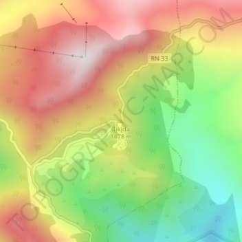
Name: Tikjda topographic map, elevation, terrain.
Location: Tikjda, El Asnam, Daïra Bechloul, Bouira, Algérie (36.44923 4.12760 36.44933 4.12770)
Average elevation: 4,728 ft
Minimum elevation: 3,301 ft
Maximum elevation: 6,083 ft
Make a donation
Gear up for your next adventure:
As an Amazon Associate, this site earns from qualifying purchases at no extra cost to you.