
Thank you for supporting this site ❤️
Make a donation
Make a donation
Gear up for your next adventure:
As an Amazon Associate, this site earns from qualifying purchases at no extra cost to you.
Ballera topographic map
Click on the map to display elevation.
Thank you for supporting this site ❤️
Make a donation
Make a donation
Gear up for your next adventure:
As an Amazon Associate, this site earns from qualifying purchases at no extra cost to you.
About this map
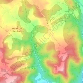
Name: Ballera topographic map, elevation, terrain.
Location: Ballera, Cardona, Bages, Barcelona, Catalonia, 08261, Spain (41.94258 1.64187 41.96258 1.66187)
Average elevation: 1,798 ft
Minimum elevation: 1,453 ft
Maximum elevation: 2,073 ft
Thank you for supporting this site ❤️
Make a donation
Make a donation
Gear up for your next adventure:
As an Amazon Associate, this site earns from qualifying purchases at no extra cost to you.