
Thank you for supporting this site ❤️
Make a donation
Make a donation
Gear up for your next adventure:
As an Amazon Associate, this site earns from qualifying purchases at no extra cost to you.
Hebron topographic map
Click on the map to display elevation.
Thank you for supporting this site ❤️
Make a donation
Make a donation
Gear up for your next adventure:
As an Amazon Associate, this site earns from qualifying purchases at no extra cost to you.
About this map
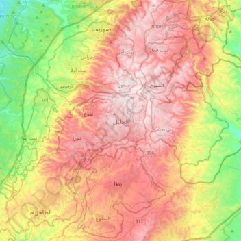
Name: Hebron topographic map, elevation, terrain.
Location: Hebron, Area H1, West Bank, 9020000, Palestinian Territory (31.36890 34.93449 31.68890 35.25449)
Average elevation: 2,077 ft
Minimum elevation: 735 ft
Maximum elevation: 3,343 ft
Thank you for supporting this site ❤️
Make a donation
Make a donation
Gear up for your next adventure:
As an Amazon Associate, this site earns from qualifying purchases at no extra cost to you.