
Põltsamaa vald topographic map
Interactive map
Click on the map to display elevation.
About this map
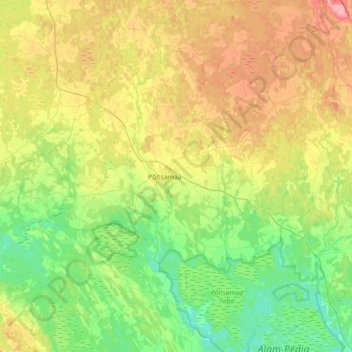
Name: Põltsamaa vald topographic map, elevation, terrain.
Location: Põltsamaa vald, Jõgeva maakond, Estonia (58.47087 25.75064 58.83927 26.44368)
Average elevation: 194 ft
Minimum elevation: 98 ft
Maximum elevation: 367 ft
Other topographic maps
Click on a map to view its topography, its elevation and its terrain.
Jõgeva alevik
Jõgeva alevik, Jõgeva vald, Jõgeva maakond, 48309, Estonia
Average elevation: 243 ft