
Jõgeva alevik topographic map
Interactive map
Click on the map to display elevation.
About this map
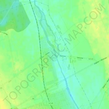
Name: Jõgeva alevik topographic map, elevation, terrain.
Location: Jõgeva alevik, Jõgeva vald, Jõgeva maakond, 48309, Estonia (58.75387 26.39108 58.77127 26.42012)
Average elevation: 243 ft
Minimum elevation: 210 ft
Maximum elevation: 272 ft
Other topographic maps
Click on a map to view its topography, its elevation and its terrain.
Põltsamaa vald
Põltsamaa vald, Jõgeva maakond, Estonia
Average elevation: 194 ft