Roya topographic map
Interactive map
Click on the map to display elevation.
About this map
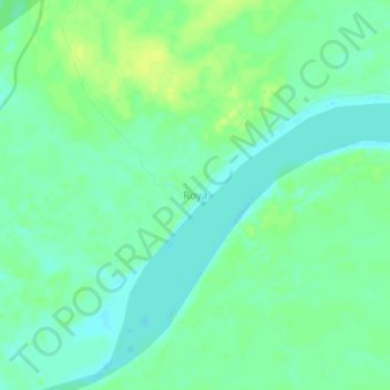
Name: Roya topographic map, elevation, terrain.
Location: Roya, Iparía, Province of Coronel Portillo, Ucayali, Peru (-9.23915 -74.42578 -9.19915 -74.38578)
Average elevation: 518 ft
Minimum elevation: 492 ft
Maximum elevation: 548 ft
Other topographic maps
Click on a map to view its topography, its elevation and its terrain.
Mar de Plata
Mar de Plata, Neshuya, Province of Padre Abad, Ucayali, Peru
Average elevation: 679 ft
Mar de Plata
Peru > Ucayali > Neshuya > Mar de Plata
Mar de Plata, Neshuya, Province of Padre Abad, Ucayali, Peru
Average elevation: 735 ft
Puerto Callao
Peru > Ucayali > Yarinacocha > Puerto Callao
Puerto Callao, Yarinacocha, Province of Coronel Portillo, Ucayali, 250105, Peru
Average elevation: 482 ft