Ozora topographic map
Interactive map
Click on the map to display elevation.
About this map
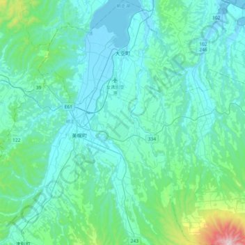
Name: Ozora topographic map, elevation, terrain.
Average elevation: 371 ft
Minimum elevation: -10 ft
Maximum elevation: 3,150 ft

Click on the map to display elevation.
Name: Ozora topographic map, elevation, terrain.
Average elevation: 371 ft
Minimum elevation: -10 ft
Maximum elevation: 3,150 ft