
Sindi topographic map
Click on the map to display elevation.
About this map
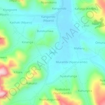
Name: Sindi topographic map, elevation, terrain.
Location: Sindi, Rukiga, Western Region, Uganda (-1.19924 30.03626 -1.15924 30.07626)
Average elevation: 5,988 ft
Minimum elevation: 5,663 ft
Maximum elevation: 6,946 ft