Geolocate

Inman topographic map

Click on the map to display elevation.

About this map

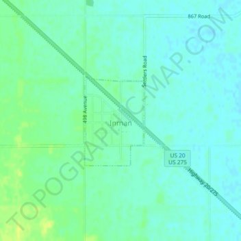
Name: Inman topographic map, elevation, terrain.

Location: Inman, Holt County, Nebraska, United States (42.37694 -98.53410 42.38698 -98.52501)

Average elevation: 1,932 ft

Minimum elevation: 1,913 ft

Maximum elevation: 1,965 ft

Holt County trails, hiking, mountain biking, running and outdoor activities

Gear up for your next adventure:

🧭Pro Hiking Compasses - High-accuracy liquid-filled compasses for topographic orientation
Backpacking Tents - Weight-optimized shelters for multi-day topographic surveys
🚗GPS Dash Cams - Record your scenic drives through mountain passes and canyons
🌡️Portable Weather Meter - Track weather conditions on the trail
🕶️Glacier Sunglasses - Side shields to protect eyes from high-altitude snow glare

As an Amazon Associate, this site earns from qualifying purchases at no extra cost to you.