Geolocate

Chappel topographic map

Click on the map to display elevation.

About this map

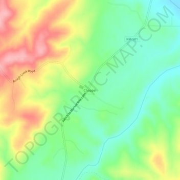
Name: Chappel topographic map, elevation, terrain.

Location: Chappel, San Saba County, Texas, United States (31.03573 -98.59087 31.07573 -98.55087)

Average elevation: 1,355 ft

Minimum elevation: 1,184 ft

Maximum elevation: 1,591 ft

San Saba County trails, hiking, mountain biking, running and outdoor activities

Other topographic maps

Click on a map to view its topography, its elevation and its terrain.

Richland Springs

United States > Texas > San Saba County

Average elevation: 1,407 ft

San Saba

United States > Texas > San Saba County

Average elevation: 1,283 ft

Mill Pond Park

United States > Texas > San Saba County > San Saba

Average elevation: 1,237 ft

Gear up for your next adventure:

🎒Outdoor Daypacks - Lightweight backpacks designed for carrying maps and essential gear
🪶Camping Sleeping Pad - Comfortable sleeping pad for backpacking
🚑Emergency Bivvies - Heat-reflective sleeping bags for survival situations
🔊Portable Camp Speaker - Music and alerts at camp
👖Convertible Hiking Pants - Versatile zip-off pants for changing altitudes and temperatures

As an Amazon Associate, this site earns from qualifying purchases at no extra cost to you.