
Bais topographic map
Click on the map to display elevation.
About this map
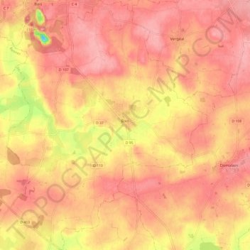
Name: Bais topographic map, elevation, terrain.
Average elevation: 259 ft
Minimum elevation: -23 ft
Maximum elevation: 361 ft
Other topographic maps
Click on a map to view its topography, its elevation and its terrain.
Le Bois Bougemont
France > Brittany > Ille-et-Vilaine > La Guerche-de-Bretagne
Average elevation: 236 ft
La Tremblais
France > Brittany > Ille-et-Vilaine > Noyal-Châtillon-sur-Seiche
Average elevation: 102 ft