
Daphne Major topographic map
Click on the map to display elevation.
About this map
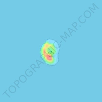
Name: Daphne Major topographic map, elevation, terrain.
Average elevation: 3 ft
Minimum elevation: 0 ft
Maximum elevation: 344 ft
Other topographic maps
Click on a map to view its topography, its elevation and its terrain.
Marchena Island
Ecuador > Galápagos > Cantón Santa Cruz
The island's name, Marchena Island (Spanish: Isla Marchena), comes from the Spanish monk, Frey Antonio de Marchena. It has an area of 130 km2 and a maximum altitude of 343 meters. The island is not set up for visitors, although the surrounding water is used by aquatic divers on organised tours.
Average elevation: 164 ft
Isla Pinta
Ecuador > Galápagos > Cantón Santa Cruz
Pinta Island (Spanish: Isla Pinta), also known as Abingdon Island, after the Earl of Abingdon, is an island located in the Galápagos Islands group, Ecuador. It has an area of 60 km2 (23 sq mi) and a maximum altitude of 777 metres (2,549 ft).
Average elevation: 253 ft