
Stone Henge topographic map
Click on the map to display elevation.
About this map
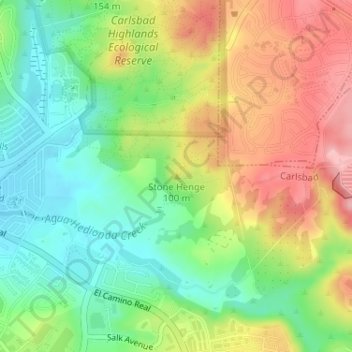
Name: Stone Henge topographic map, elevation, terrain.
Average elevation: 256 ft
Minimum elevation: 52 ft
Maximum elevation: 518 ft
San Diego County trails, hiking, mountain biking, running and outdoor activities
Other topographic maps
Click on a map to view its topography, its elevation and its terrain.
Tamarack Beach
United States > California > San Diego County > Carlsbad > Carlsbad Trailer Park
Average elevation: 30 ft