
Neuendorf-Sachsenbande topographic map
Interactive map
Click on the map to display elevation.
Neuendorf-Sachsenbande
The local council counts one member of the SPD, five members of the CDU, five Independents. The design of the coat of arms symbolizes several of the local geographic in political realities, such as the recent consolidation of the cities, the nationally prominent topographical depression, and the small river, the Wilster Au, which flows through the municipality.
About this map
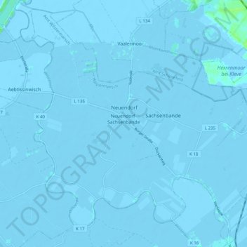
Name: Neuendorf-Sachsenbande topographic map, elevation, terrain.
Average elevation: -7 ft
Minimum elevation: -16 ft
Maximum elevation: 30 ft