Geolocate

Sonbarsa topographic map

Click on the map to display elevation.

About this map

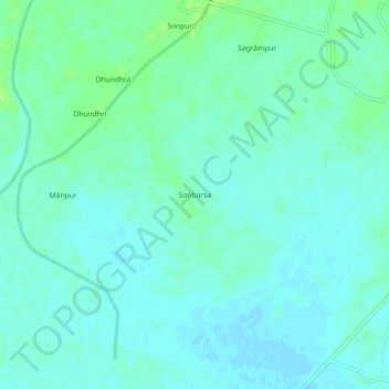
Name: Sonbarsa topographic map, elevation, terrain.

Location: Sonbarsa, Tulsipur, Balrampur, Uttar Pradesh, India (27.45370 82.55233 27.49370 82.59233)

Average elevation: 338 ft

Minimum elevation: 325 ft

Maximum elevation: 358 ft

Gear up for your next adventure:

🪶Paracord Bracelet - Survival bracelet with built‑in tools
🔭Telescopic Hiking Pole - Adjustable pole for hiking stability
🧯Portable Fire Pit - Compact fire pit for camping spots
🪑Ultralight Camp Chairs - Portable seating for resting after a long day of mapping
🧭Pro Hiking Compasses - High-accuracy liquid-filled compasses for topographic orientation

As an Amazon Associate, this site earns from qualifying purchases at no extra cost to you.