
Make a donation
Gear up for your next adventure:
As an Amazon Associate, this site earns from qualifying purchases at no extra cost to you.
Niederanven topographic map
Click on the map to display elevation.
Make a donation
Gear up for your next adventure:
As an Amazon Associate, this site earns from qualifying purchases at no extra cost to you.
About this map
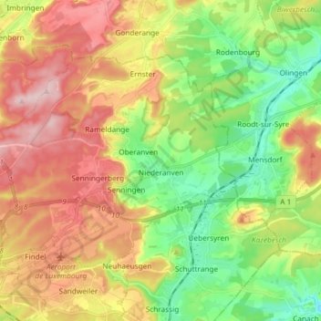
Name: Niederanven topographic map, elevation, terrain.
Location: Niederanven, Canton Luxembourg, Luxembourg (49.62298 6.14276 49.68629 6.28960)
Average elevation: 1,053 ft
Minimum elevation: 715 ft
Maximum elevation: 1,457 ft
Make a donation
Gear up for your next adventure:
As an Amazon Associate, this site earns from qualifying purchases at no extra cost to you.
Other topographic maps
Click on a map to view its topography, its elevation and its terrain.
Luxembourg City: Old Quarters & Fortifications
Luxembourg > Canton Luxembourg > Luxembourg
Average elevation: 965 ft
Make a donation
Gear up for your next adventure:
As an Amazon Associate, this site earns from qualifying purchases at no extra cost to you.