Geolocate

Amritpur topographic map

Click on the map to display elevation.

About this map

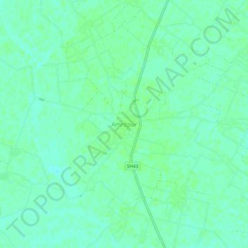
Name: Amritpur topographic map, elevation, terrain.

Location: Amritpur, Farrukhabad, Uttar Pradesh, 209622, India (27.52060 79.57754 27.56060 79.61754)

Average elevation: 466 ft

Minimum elevation: 449 ft

Maximum elevation: 472 ft

Gear up for your next adventure:

🗺️Topographic Maps - Detailed topo maps for hiking, exploring and outdoor navigation
🥾Hiking Shoes - Durable and comfortable shoes for trail hiking
🧭Outdoor Navigation Book - Learn advanced navigation skills
📦Dry Bags Set - Waterproof storage for electronics and clothes
🛰️Handheld GPS Units - Professional satellite navigators for precise backcountry mapping

As an Amazon Associate, this site earns from qualifying purchases at no extra cost to you.