
Thank you for supporting this site ❤️
Make a donation
Make a donation
Gear up for your next adventure:
As an Amazon Associate, this site earns from qualifying purchases at no extra cost to you.
Kol'ashchi topographic map
Click on the map to display elevation.
Thank you for supporting this site ❤️
Make a donation
Make a donation
Gear up for your next adventure:
As an Amazon Associate, this site earns from qualifying purchases at no extra cost to you.
About this map
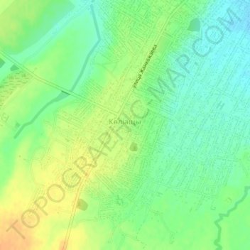
Name: Kol'ashchi topographic map, elevation, terrain.
Location: Kol'ashchi, Qarasay District, Almaty Region, Kazakhstan (43.34771 76.59633 43.36279 76.61775)
Average elevation: 2,283 ft
Minimum elevation: 2,234 ft
Maximum elevation: 2,343 ft
Thank you for supporting this site ❤️
Make a donation
Make a donation
Gear up for your next adventure:
As an Amazon Associate, this site earns from qualifying purchases at no extra cost to you.