Geolocate

Limoncarro topographic map

Click on the map to display elevation.

About this map

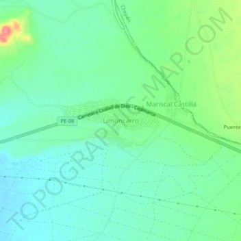
Name: Limoncarro topographic map, elevation, terrain.

Location: Limoncarro, Guadalupe, Pacasmayo, La Libertad, Perú (-7.32186 -79.43650 -7.28186 -79.39650)

Average elevation: 387 ft

Minimum elevation: 299 ft

Maximum elevation: 623 ft

Gear up for your next adventure:

🛶Inflatable Kayak - Portable kayak for rivers, lakes, and expeditions
🪶Survival Guide Book - Expert advice for emergency preparedness
🏕️Tent Footprint - Protect your tent base from wear
🛰️Satellite Messengers - Emergency SOS and two-way messaging for off-grid adventures
🛠️Backpacking Tool Kit - Essential toolkit for outdoor repairs

As an Amazon Associate, this site earns from qualifying purchases at no extra cost to you.