
Qanatir Zifta topographic map
Interactive map
Click on the map to display elevation.
About this map
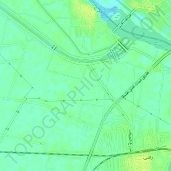
Name: Qanatir Zifta topographic map, elevation, terrain.
Location: Qanatir Zifta, Gharbiyya Governorate, 35611, Egypt (30.73328 31.23328 30.73338 31.23338)
Average elevation: 33 ft
Minimum elevation: 10 ft
Maximum elevation: 52 ft
Other topographic maps
Click on a map to view its topography, its elevation and its terrain.
San al Hagar
Egypt > Gharbiyya Governorate > San al Hagar
San al Hagar, Gharbiyya Governorate, Egypt
Average elevation: 20 ft