Geolocate

Carena topographic map

Click on the map to display elevation.

About this map

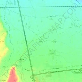
Name: Carena topographic map, elevation, terrain.

Location: Carena, Cherasco, Cuneo, Piedmont, Italy (44.65876 7.76075 44.69876 7.80075)

Average elevation: 961 ft

Minimum elevation: 902 ft

Maximum elevation: 1,086 ft

Gear up for your next adventure:

🔦LED Headlamp - Bright and durable LED headlamp for night navigation
🗺️NatGeo Topo Maps - High-quality waterproof printed topographic maps of US Parks
🏫Relief Map Kits - Hands-on tools for teaching landforms and elevation
Solar GPS Watches - Advanced multisport watches with built-in topographic maps
🧤Hiking Gloves - Protective gloves for rugged trails

As an Amazon Associate, this site earns from qualifying purchases at no extra cost to you.