
Boonville topographic map
Click on the map to display elevation.
About this map
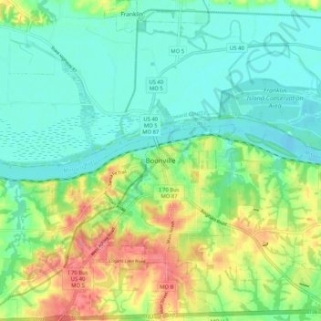
Name: Boonville topographic map, elevation, terrain.
Location: Boonville, Cooper County, Missouri, 65233, United States (38.93515 -92.78403 39.01515 -92.70403)
Average elevation: 650 ft
Minimum elevation: 568 ft
Maximum elevation: 814 ft
Cooper County trails, hiking, mountain biking, running and outdoor activities