Geolocate

Al Sdir topographic map

Click on the map to display elevation.

About this map

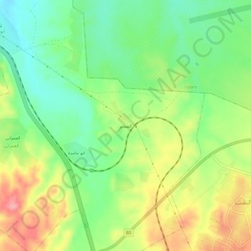
Name: Al Sdir topographic map, elevation, terrain.

Location: Al Sdir, Beersheba Subdistrict, South District, Israel (31.14977 34.96954 31.18977 35.00954)

Average elevation: 1,362 ft

Minimum elevation: 1,207 ft

Maximum elevation: 1,572 ft

Gear up for your next adventure:

🥾Men's Hiking Boots - Durable, waterproof footwear for rugged terrain and steep inclines
🧼Biodegradable Camping Soap - Eco‑friendly soap for outdoor hygiene
😴Insulated Sleeping Pads - Compact and warm pads for high-elevation camping
📌Outdoor GPS Map App - Apps and devices for digital topographic navigation
🕶️GPS Smartphone Mount - Secure mount for phone navigation

As an Amazon Associate, this site earns from qualifying purchases at no extra cost to you.