
Naturpark Pfyn-Finges topographic map
Interactive map
Click on the map to display elevation.
About this map
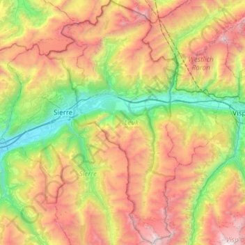
Name: Naturpark Pfyn-Finges topographic map, elevation, terrain.
Location: Naturpark Pfyn-Finges, Leuk, Wallis, Schweiz (46.11075 7.49932 46.44505 7.75815)
Average elevation: 6,519 ft
Minimum elevation: 1,617 ft
Maximum elevation: 13,829 ft
Other topographic maps
Click on a map to view its topography, its elevation and its terrain.