
Lessard Lake topographic map
Interactive map
Click on the map to display elevation.
About this map
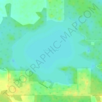
Name: Lessard Lake topographic map, elevation, terrain.
Location: Lessard Lake, Lac Ste. Anne County, Alberta, Canada (53.77612 -114.67013 53.79404 -114.63218)
Average elevation: 2,441 ft
Minimum elevation: 2,415 ft
Maximum elevation: 2,487 ft