
Thank you for supporting this site ❤️
Make a donation
Make a donation
Gear up for your next adventure:
As an Amazon Associate, this site earns from qualifying purchases at no extra cost to you.
Kluch topographic map
Click on the map to display elevation.
Thank you for supporting this site ❤️
Make a donation
Make a donation
Gear up for your next adventure:
As an Amazon Associate, this site earns from qualifying purchases at no extra cost to you.
About this map
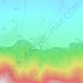
Name: Kluch topographic map, elevation, terrain.
Location: Kluch, Petrich, Blagoevgrad, 2899, Bulgaria (41.34226 22.99707 41.38226 23.03707)
Average elevation: 2,018 ft
Minimum elevation: 768 ft
Maximum elevation: 5,154 ft
Thank you for supporting this site ❤️
Make a donation
Make a donation
Gear up for your next adventure:
As an Amazon Associate, this site earns from qualifying purchases at no extra cost to you.