
Fruitvale topographic map
Interactive map
Click on the map to display elevation.
About this map
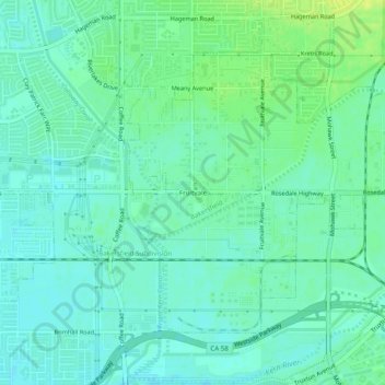
Name: Fruitvale topographic map, elevation, terrain.
Average elevation: 400 ft
Minimum elevation: 377 ft
Maximum elevation: 436 ft
Other topographic maps
Click on a map to view its topography, its elevation and its terrain.
Bakersfield
United States > California > Kern County > Bakersfield
Bakersfield, Kern County, California, 93301, United States
Average elevation: 528 ft
Quailwood
United States > California > Kern County > Bakersfield
Quailwood, Bakersfield, Kern County, CAL Fire Southern Region, California, 93309, United States
Average elevation: 390 ft