Geolocate

Curipata topographic map

Click on the map to display elevation.

About this map

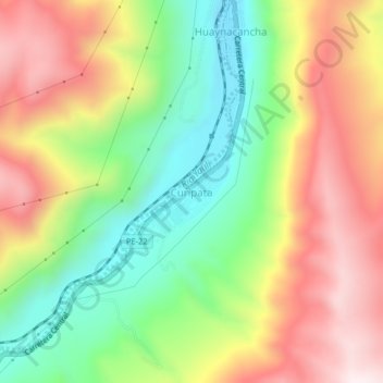
Name: Curipata topographic map, elevation, terrain.

Location: Curipata, La Oroya, Province of Yauli, Junín, Peru (-11.61631 -75.98213 -11.57631 -75.94213)

Average elevation: 13,622 ft

Minimum elevation: 12,562 ft

Maximum elevation: 14,829 ft

Gear up for your next adventure:

🧴Hand Sanitizer - Keep hands clean while hiking
🔥Fast-Boil Camping Stoves - Efficient cooking systems for quick trail meals
🌡️Handheld Weather Meters - Measure wind, temp, and pressure for safe mountain travel
🏕️Tent Footprint - Protect your tent base from wear
🎒Hydration Pack - Hands‑free water reservoir for long hikes

As an Amazon Associate, this site earns from qualifying purchases at no extra cost to you.