
Damoh topographic map
Click on the map to display elevation.
Damoh
Damoh is located at 23°53′N 79°27′E / 23.88°N 79.45°E / 23.88; 79.45. It is at an average elevation of 595 metres (1,952 ft).
About this map
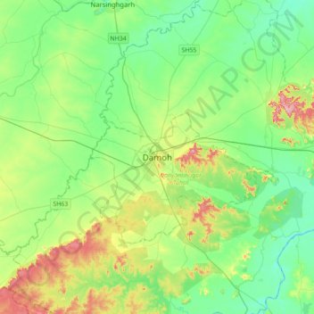
Name: Damoh topographic map, elevation, terrain.
Average elevation: 1,188 ft
Minimum elevation: 1,047 ft
Maximum elevation: 1,542 ft