
San Carlos topographic map
Interactive map
Click on the map to display elevation.
About this map
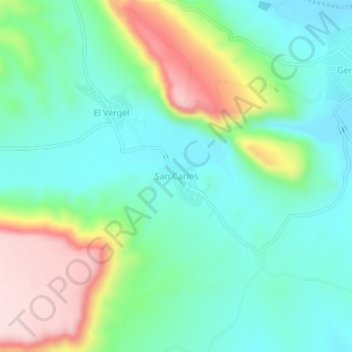
Name: San Carlos topographic map, elevation, terrain.
Location: San Carlos, El Oro, Durango, México (25.48098 -105.29107 25.52098 -105.25107)
Average elevation: 5,456 ft
Minimum elevation: 5,128 ft
Maximum elevation: 6,204 ft
Other topographic maps
Click on a map to view its topography, its elevation and its terrain.
El Agostadero
El Agostadero, El Oro, Durango, México
Average elevation: 5,377 ft
Santa Maria del Oro
Santa Maria del Oro, El Oro, Durango, México
Average elevation: 5,771 ft