
El Agostadero topographic map
Interactive map
Click on the map to display elevation.
About this map
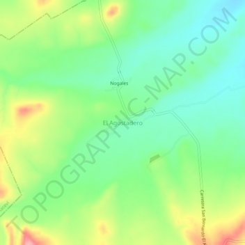
Name: El Agostadero topographic map, elevation, terrain.
Location: El Agostadero, El Oro, Durango, México (25.89221 -105.49581 25.93221 -105.45581)
Average elevation: 5,377 ft
Minimum elevation: 5,233 ft
Maximum elevation: 5,623 ft
Other topographic maps
Click on a map to view its topography, its elevation and its terrain.
Santa Maria del Oro
Santa Maria del Oro, El Oro, Durango, México
Average elevation: 5,771 ft