Geolocate

Montara topographic map

Click on the map to display elevation.

Montara

The rare and endangered species Hickman's potentilla occurs at the northern extremity of Montara on the slopes above Martini Creek at elevations ranging from 32 to 410 ft (9.8 to 125.0 m).

Wikipedia (CC-BY-SA 3.0)

About this map

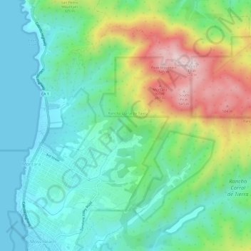
Name: Montara topographic map, elevation, terrain.

Location: Montara, San Mateo County, California, 94037, United States (37.53250 -122.51989 37.56633 -122.45995)

Average elevation: 217 ft

Minimum elevation: 0 ft

Maximum elevation: 1,657 ft

San Mateo County trails, hiking, mountain biking, running and outdoor activities

Gear up for your next adventure:

🥄Camping Utensil Set - Lightweight utensils for outdoor meals
🪑Ultralight Camp Chairs - Portable seating for resting after a long day of mapping
🪶Compact Camp Shovel - Folding shovel for campsite tasks
Solar GPS Watches - Advanced multisport watches with built-in topographic maps
🖼️Topo Map Wall Art - Decorative topographic prints of famous peaks and regions

As an Amazon Associate, this site earns from qualifying purchases at no extra cost to you.