Geolocate

Homerville topographic map

Click on the map to display elevation.

About this map

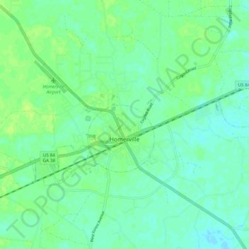
Name: Homerville topographic map, elevation, terrain.

Location: Homerville, Clinch County, Georgia, 31634, United States (31.02152 -82.78297 31.06129 -82.68848)

Average elevation: 174 ft

Minimum elevation: 157 ft

Maximum elevation: 194 ft

Clinch County trails, hiking, mountain biking, running and outdoor activities

Other topographic maps

Click on a map to view its topography, its elevation and its terrain.

Du Pont

United States > Georgia > Clinch County

Average elevation: 180 ft

Argyle

United States > Georgia > Clinch County

Average elevation: 161 ft

Gear up for your next adventure:

📷Action Cameras - Rugged cameras to document your journeys across rugged terrain
🛰️Handheld GPS Units - Professional satellite navigators for precise backcountry mapping
🧢Sun Protection Hats - Wide-brimmed and UPF-rated hats for high-altitude sun safety
🪄Magnetic Compass - Accurate compass for navigation
🔭Stargazing Telescopes - Perfect for camping in low-light pollution areas shown on maps

As an Amazon Associate, this site earns from qualifying purchases at no extra cost to you.