
Thank you for supporting this site ❤️
Make a donation
Make a donation
Gear up for your next adventure:
As an Amazon Associate, this site earns from qualifying purchases at no extra cost to you.
Chela topographic map
Click on the map to display elevation.
Thank you for supporting this site ❤️
Make a donation
Make a donation
Gear up for your next adventure:
As an Amazon Associate, this site earns from qualifying purchases at no extra cost to you.
About this map
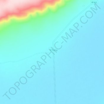
Name: Chela topographic map, elevation, terrain.
Location: Chela, Msalala, Shinyanga Region, Lake Zone, Tanzania (-3.56219 32.52891 -3.52219 32.56891)
Average elevation: 3,960 ft
Minimum elevation: 3,825 ft
Maximum elevation: 4,839 ft
Thank you for supporting this site ❤️
Make a donation
Make a donation
Gear up for your next adventure:
As an Amazon Associate, this site earns from qualifying purchases at no extra cost to you.