
View of Everest, Lhotse, Nuptse, Pumori topographic map
Interactive map
Click on the map to display elevation.
About this map
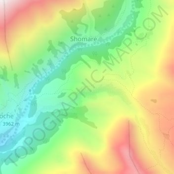
Name: View of Everest, Lhotse, Nuptse, Pumori topographic map, elevation, terrain.
Average elevation: 13,973 ft
Minimum elevation: 12,618 ft
Maximum elevation: 15,791 ft